Environment
Environmental solutions
Quick and safe inventory generates images which can then be examined by experts. You can reduce the number of field trips and reduce inventory, running and planning costs. An accurate image basis gives you an even better basis for decision making.
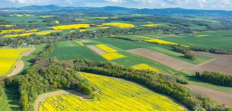
Are you interested in the volume of your forest? Are you planning new forests?
Your organisation can use position-determined images and laser data connected to GIS to make better decisions. It will become easier to plan future work when you have an accurate overview of current status, and using the images you will be able to prioritise any measures effectively.
By connecting information to assets in the image and simultaneously conducting precise positioning, we can inventory your forest and link very specific information to every separate asset.
You can extract more information and the images can be reviewed more thoroughly. Forestry experts will have more time to inspect forests in order to detect tree diseases, for example.
Collected data can be accessed via the internet and the same data can be viewed by anyone in your organisation.
You will have more effective control of deforestation or planting. See how the contract is progressing. Discussions can take place with the images in front of you.
Correct data can be exported to your own GIS information system so it can always be up to date.
Your inventory will be more complete. The stretches we have flown are automatically recreated in our software, and thanks to our navigation system we can see which stretches need additional flyovers. No areas will be missed.
Our laser-scanned 3D models enable the calculation of distance, height, surface area and volume of forests or clearings. This laser scanning takes place at the same time as other data collection.
You can create an image history and evaluate processes over the long term.
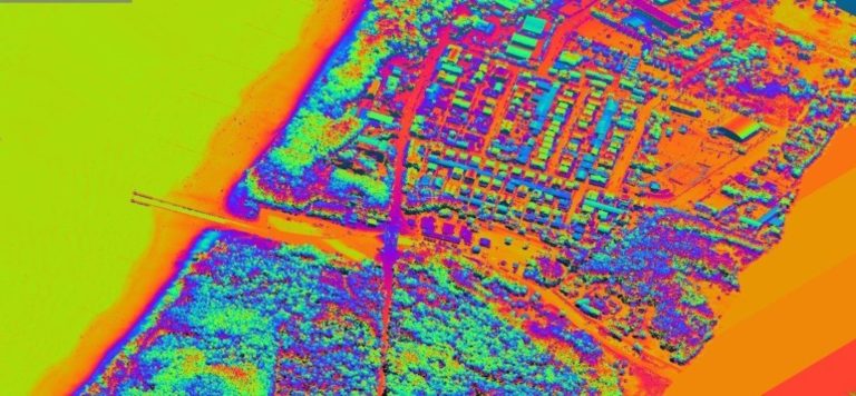
Rivers and coastlines
We can document rivers or coastlines so that preventive measures can be taken against possible flooding. Vegetation, terrain and topography are charted at the same time.
Environmental plans and environmental consequence analysis can be conducted more thoroughly and effectively.
We can help you document those locations where growing infrastructure or habitation can have a negative effect on the environment. By supplying you with the correct information we make it easier for you to make the right decisions.
In terms of hydrological studies, Visimind offers:
- Inventory of reservoirs and watercourses and their adjacent areas
- Development of coastal elevation
- Monitoring of the coastal belt (tidal range, coastal erosion, dune movement etc.)
- Assessment of the condition of coastal protection forests and flood embankments
- Imaging of areas threatened by flooding