E-Cutter
Real-Time Cutting Support
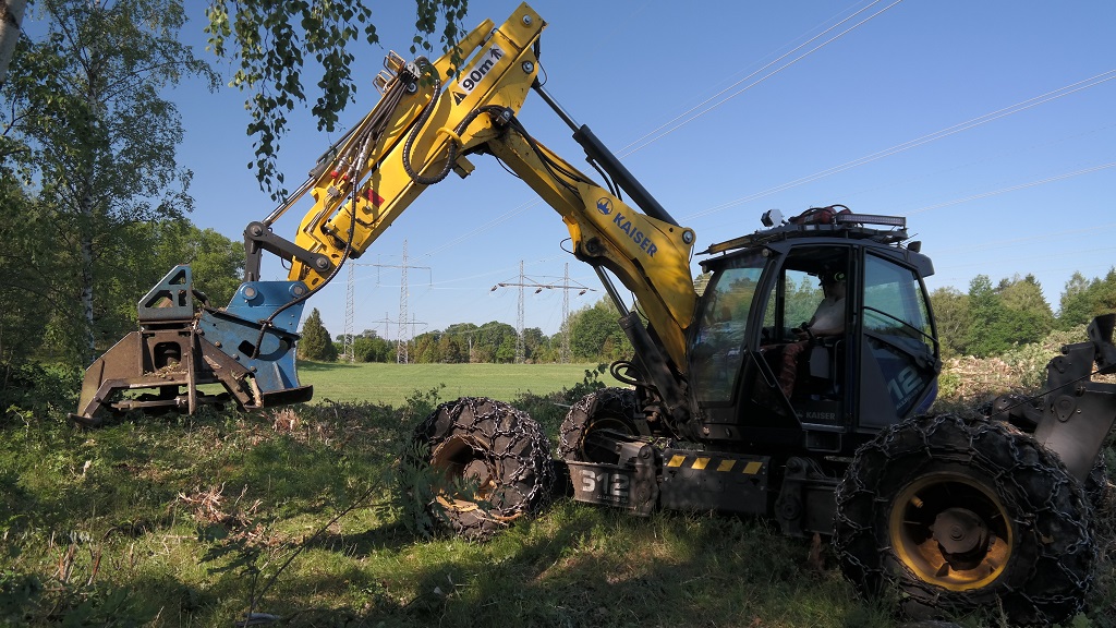
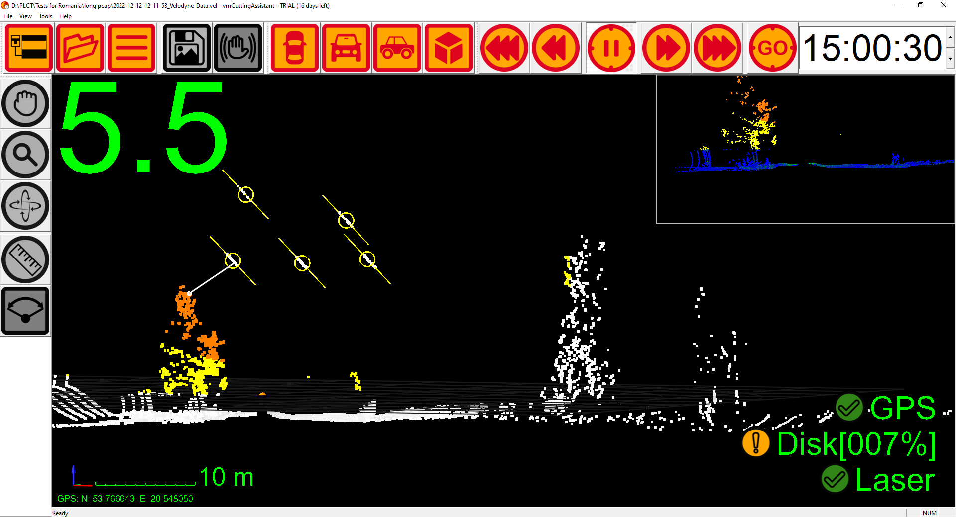
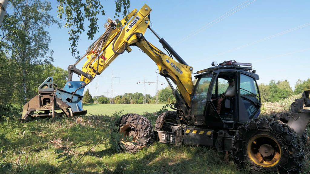
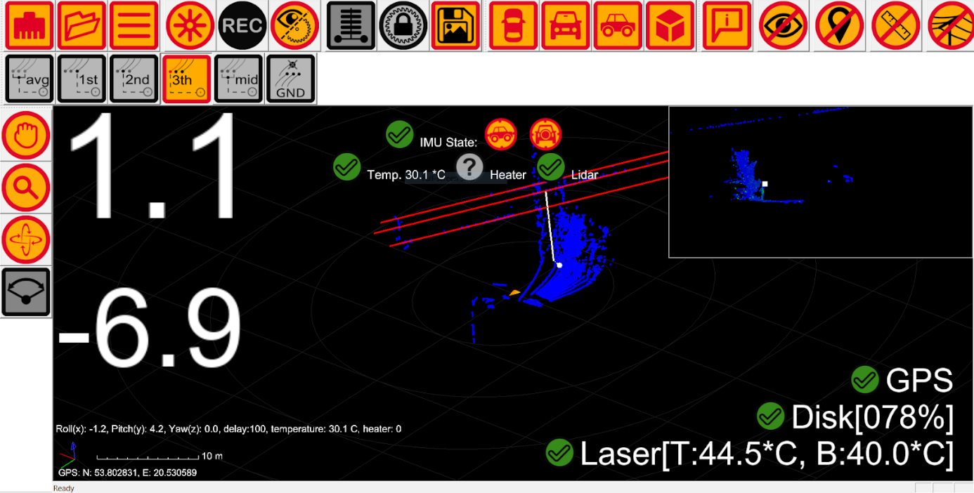
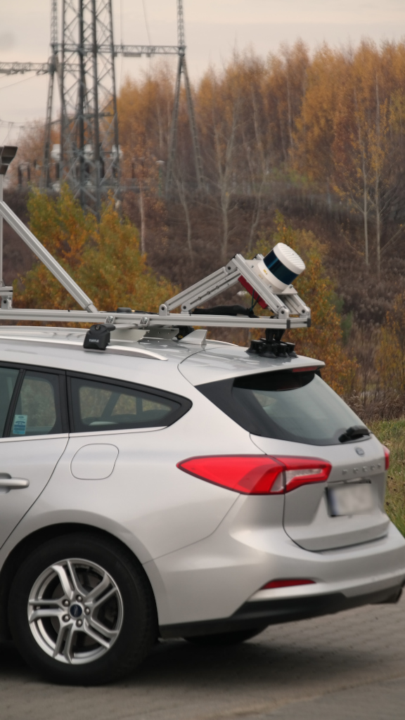
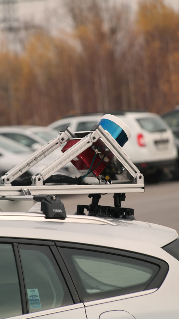
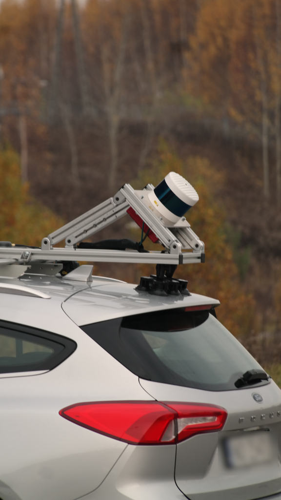
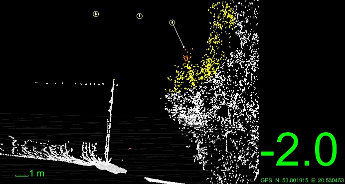
E-Cutter is a real-time laser scanner (LiDAR) mounted inside a rugged housing. The LiDAR automatically measures the distance from the power line to the vegetation (trees, shrubs). The machine operator conducting the cutting knows exactly if they are within the cutting area. This ensures that the work is carried out according to the specifications and saves time by eliminating unnecessary activities.
The operator has a clear view on the tablet screen mounted inside the machine of what still needs to be cut and how far the cutting head is from the line. Data collected in the field can be recorded and replayed in the office or exported to reports with GPS location.
This device is intended for the following target groups:
-
-
- Energy project managers
- Installers
- Electricians
- Inspectors
- Lumberjacks
-
Technical Specification:
MAPPING SYSTEM WITH INS, CAMS, ETC.
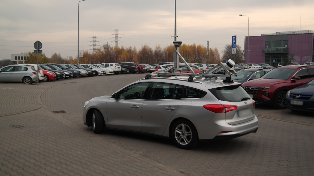
Our company offers custom mobile mapping solutions tailored to various areas of activity, such as urban planning, transportation management, and environmental monitoring. Our solutions are designed to flexibly adapt to the unique needs of each client.
Why choose our company?
Individual approach
We understand that each project has its own unique requirements. Therefore, we work closely with our clients to develop a mobile mapping system that perfectly meets their needs and specific expectations.
State-of-the-art technology
Our solutions are based on the latest advancements in mobile mapping technology. We utilize state-of-the-art tools and methods to ensure our clients achieve maximum accuracy, efficiency, and reliability in the execution of projects.
Professional expert support
Our team consists of experienced experts ready to provide comprehensive support at every stage of the project, from consultation and advisory to full implementation and ongoing technical support. We are here to help our clients achieve their goals and successes.
If you want to receive personalized solutions, contact us today. We will be happy to discuss how we can assist you in achieving your goals and provide you with the best mobile mapping solutions.
PLCT
Pedestrian Lidar Control Tool
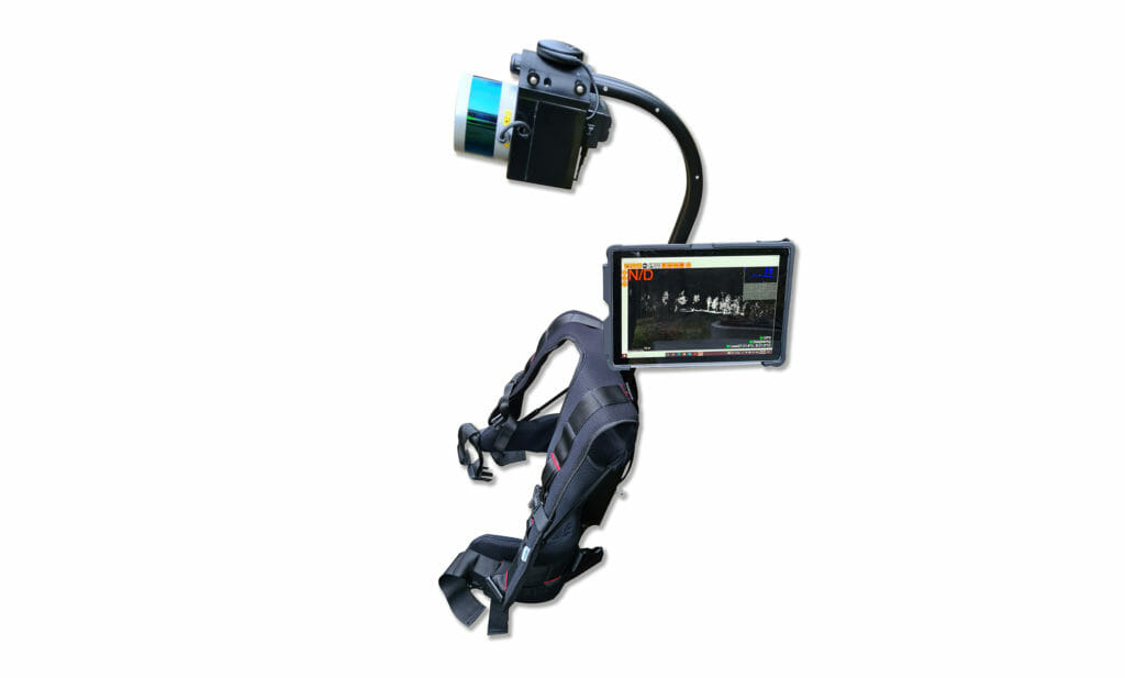
PLCT is a real-time laser scanner mounted on a backpack that automatically measures the distance from the power line to the vegetation (trees, shrubs). During inspections under the power line, our software analyzes the surroundings and displays the results on the included tablet.
The software displays scanning data in real-time and presents a clear cross-section showing the wires and all vegetation that is closer than the user-defined distance. From this data, a report with GPS coordinates can be generated.
This device is intended for the following target groups:
-
-
- Energy project managers
- Installers
- Electricians
- Inspectors
- Loggers
-
Technical Specification:
DAM
Airborne Mapping with Velodyne Lidar
Visimind has integrated both the Ultra Puck and Alpha Prime into a pod that can be mounted on helicopters using certified mounts. The Lidars are integrated with INS and cameras to generate an airborne mapping system. These systems include also software for processing and generation of point clouds. The data acquired can be stored and viewed in Visimind’s webtool webDPM or used in other mapping software in LAS format.
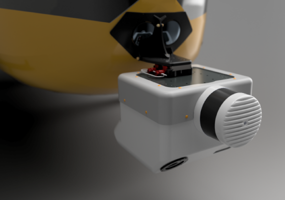
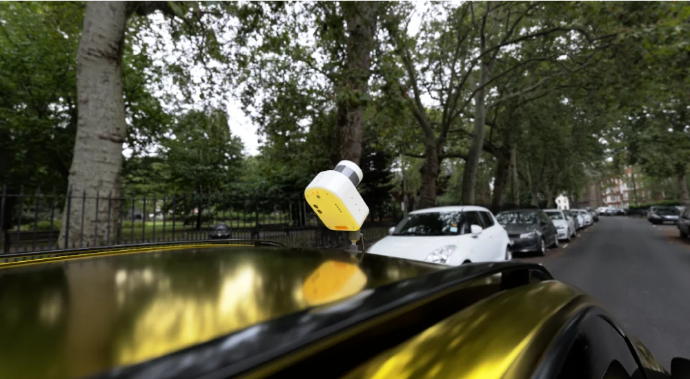
Typically, one to four cameras are integrated together with the Lidar in the pod and configured for oblique or ortograhic views. The Alpha prime Lidar has a range of up to 300 m and the typical altitude for mapping is 50-150 m. With the software package this pos is complete and ready for corridor mapping with colorized point cloud, ortophoto and oblique images.
SLAM & Lidar and localization
Simultaneous localization and mapping (SLAM) is the computational problem of constructing a map while simultaneously keeping track of the Lidar location within it. In other cases, it can be continuous localization inside an already mapped location. There are many SLAM solutions on the market, from turnkey systems where you simply switch it on and start to Open-source algorithms that requires knowledge to run. Further on some algorithms use an Inertial Measurement Unit (IMU) while others don’t. Anyway, the IMU used is a simple non expensive one and some Lidars already have it inside.
If you want a Lidar to work with SLAM Visimind has several solutions to help you:
-
-
- Commercial SLAM
- Pre-installed kit with Lidar, computer and IMU.
- An installation guide to Open-source SLAM
-
Contact us to setup a meeting to discuss.
Commercial SLAM
Visimind can guide with commercially available SLAM algorithms that we know work with our Lidars. Some also operate without IMU and instead relies on a fast updating of the Lidar frame. How SLAM works varies with the use case, and we believe we can help you there. Contact us to discuss your Lidar need and use case.
Pre-installed kit with Lidar, computer and IMU
This is a ready kit with computer, Lidar of your choice, IMU and Open-source SLAM installed. It’s easy to use but assumes you know Linux. As output you will get a point cloud.
Pros and cons with SLAM
When using SLAM you will get a point cloud which has a metric coordinate system but it’s not georeferenced, ie you have no latitude and longitude and no idea of where is north. The quality of the point cloud will be dependent on factors like
-
-
- Be aware of fast rotations!
- The terrain needs to have some features that the Lidar can track, in an empty field that looks the same everywhere SLAM will not function.
- Errors will accumulate while you move to new terrain where you have not been before.
- If you come back to an already mapped area and the loop closure is working properly.
-
Installation guide with docker packages for Open-source SLAM
Visimind has prepared an installation guide with dockers and scripts to install SLAM on a Linux computer with Lidar and IMU. You still need to be familiar with Linux but you should quickly have SLAM up an running to generate

