
Handheld Mapping
GoSLAM Mobile SLAM Solution

Mobile Mapping
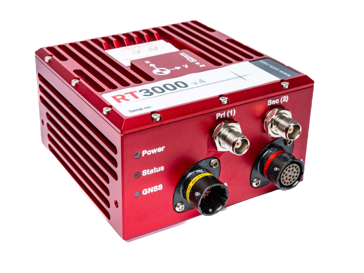
OxTS Inertial Navigation Systems
The Velodyne Lidar outputs a 3D point cloud in the laser coordinate system for every 360-degree rotation. These are coordinates without any connection to a map or a global frame. To generate a point cloud, you need to merge the frames and assign global map coordinates to each laser measurement. Also, the inertial data will support the processing to find the correct position where there are GNSS shadows. Direct georeferencing will always give the position and orientation of the IMU (Inertial Measurement Unit) so additionally a complete system must be able to find the difference in location and orientation between the IMU and the Lidar. This is the so-called boresight calibration.