3D LiDAR
We are the biggest distributor of 3D LiDARs in EMEA with the fastest delivery times.
You will not only receive your LiDARs with the fastest delivery times and most competitive prices; if you are unsure which LiDAR fits your use case, our broad experience can provide you with valuable guidelines when choosing LiDAR sensors.
Want to know more about which LiDAR to choose?
Loan a demo unit?
Request a quotation?
Lidar integrations
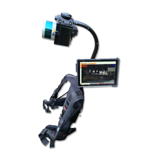
Mapping and Surveying
Visimind started with airborne Lidar mapping aleady in 2007. Since then we have developed both complete Lidar mapping systems and integrated tools with Lidar to solve problems that you encounter in reality.

SLAM & Lidar and localization
To create point clouds in seconds or localize your Lidar relative to a map Visimind can help you with SLAM solutions that works well with our Lidars. We work both with commercially available solutions as well as Open-source alternatives
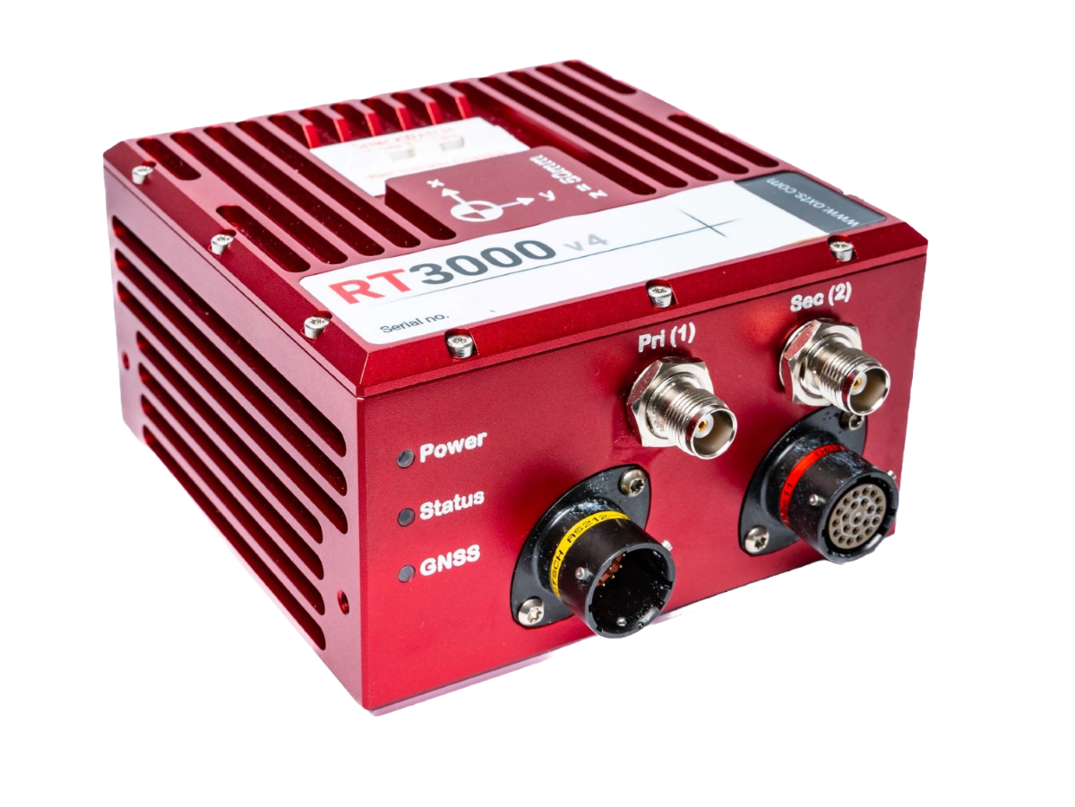
Inertial Navigation Systems

OxTS
The Velodyne Lidar outputs a 3D point cloud in the laser coordinate system for every 360-degree rotation. These are coordinates without any connection to a map or a global frame. To generate a point cloud, you need to merge the frames and assign global map coordinates to each laser measurement. Also, the inertial data will support the processing to find the correct position where there are GNSS shadows. Direct georeferencing will always give the position and orientation of the IMU (Inertial Measurement Unit) so additionally a complete system must be able to find the difference in location and orientation between the IMU and the Lidar. This is the so-called boresight calibration.


